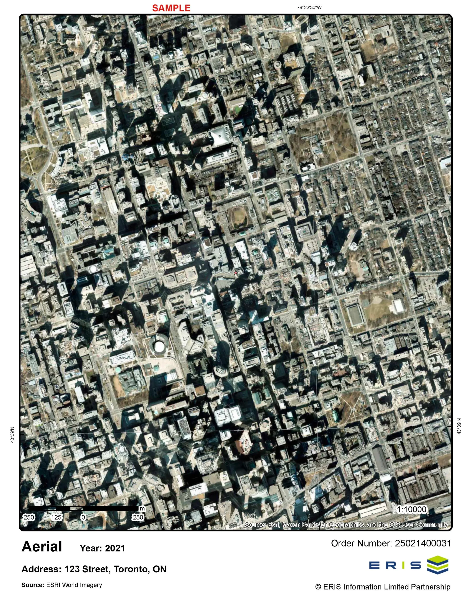
Historical Aerials
Aerials from ERIS’ National Collection can be acquired for decades from 1920 to 2020. You select the decades for which you want to receive aerials and the ERIS Team will select based on the best coverage, quality and scale. An aerial selection list will no longer be provided. The final delivery will be in a geo-enabled .pdf with metadata for each aerial. Aerials can also be accessed, layered and analyzed through ERIS Xplorer (which is included with the purchase of any database report).
- Aerials have a scale range of 1” = 5000’ to 1” = 50000’.
- The final delivery will be in a geo-enabled pdf with metadata for each aerial.
- Historical Aerials are offered a la carte and as part of ERIS’ multi-product packages.
- Aerials are accessible and viewable within ERIS Xplorer.
Upgrade to Aerial Imaging for Large Custom Areas and Linear Projects
The upgrade allows multiple high-resolution images for large custom areas and linear projects to be viewed seamlessly in the ERIS Xplorer application.
- Integrate high-res aerial images into Xplorer to enable more depth and precision when reviewing projects.
- Overlay images effortlessly and use the Opacity and Transition tools to assess environmental changes and risks with accuracy regardless of site size.
- Generate robust PDF reports containing both summaries and detailed imagery for large-scale projects.
- Benefit from ERIS’ end-to-end solution integration whether in the office or on-site across ERIS Mobile, Xplorer, the Figure Creator Tool, and SCRIVA, our report authoring platform.
Explore this impactful new technology on your next large scale project.
Ontario Aerial Package
This package includes: a Standard Database Report, georeferenced Historical Aerials*, an Ontario Base Map (OBM) – all delivered and presented through ERIS Xplorer
- Xplorer saves you time and money by creating a more streamlined and efficient review and analysis process. Review your environmental data and layer your historical aerials on one central platform.
*The ERIS Team will select the best aerial photos for your site from each decade (if available) with regards to coverage, scale and quality.