


Crucial Accuracy
Comprehensive current and historical environmental information for any property in North America.
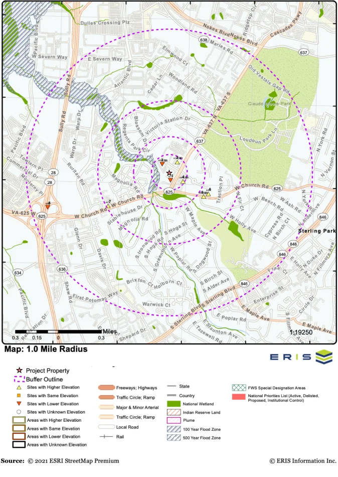
Database Reports
Key federal, state and proprietary databases are researched to identify environmental concerns associated with your subject property and surrounding area.
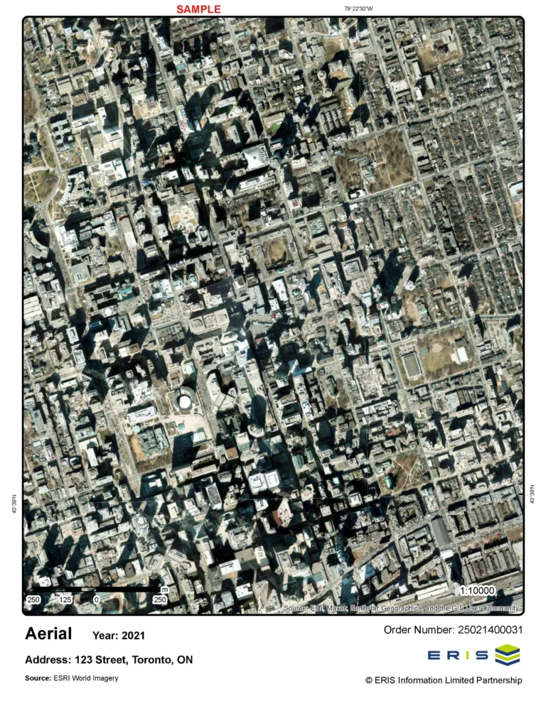
Historical Aerials
Aerial images play an important role in the historical review component of a Phase I Environmental Site Assessment.
ERIS Direct
Real-time and lightning-fast environmental risk and property data via searchable online subscription.


Mobile Portability
ERIS Mobile lets you more efficiently conduct your research on-site.

ERIS Mobile App
First-ever fully integrated mobile app for on-site environmental and property due diligence.


Investigate Depth
Innovative tools let you visualize and analyze all information together in one place.

ERIS Xplorer
Interactive platform for analyzing and viewing data, map layers, and historical imagery.

Physical Setting Report (PSR)
Comprehensive information about the physical setting surrounding a site.


Advanced Customization
The ERIS platform is built on the most up-to-date technology.
Figure Creator
Create Figures and Photo Logs, all from within ERIS Xplorer.
Output Efficiency
Scriva enables unlimited templates for unlimited users to write property due diligence reports more efficiently than ever.

Scriva
Scriva streamlines report writing, collaboration, document collection, and project management through ERIS’ workflow integration.


Request a Live Demo
Please fill in the following form and an ERIS Representative will contact you shortly.