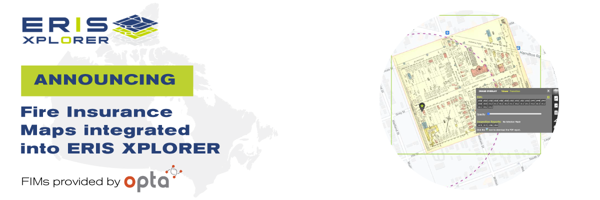
FIMs now integrated into ERIS Xplorer
FIMs now integrated into ERIS Xplorer! Today ERIS introduces new features to its proprietary layering and analysis platform, ERIS Xplorer, including geo-referenced overlays of fire insurance maps onto Google street maps and other environmental data sets.
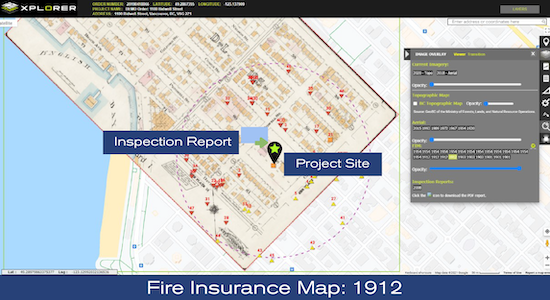
A LIBRARY OF MAPS INTEGRATED FOR ANALYSISERIS continues to underscore its commitment to its products, its services and its customers. As part of this commitment, ERIS has completed a technological enhancement of its ERIS Xplorer interactive visualization tool.Digital fire insurance maps from OPTA Information Intelligence’s country-wide collection have been geo-referenced and adjusted to overlay onto current street layers within the ERIS Xplorer platform*. ERIS’ customers can use this state-of-the-art visualization tool in real time – to identify, reveal and analyze important geographical artifacts and boundaries, including the placement of buildings, reservoirs and other features, as they evolved.Also available, Inspection Report locations are now identified on the map view, and the reports accessible for viewing or downloading simply by clicking the icon.
(*ERIS Xplorer, FIMs and Inspection Reports must be included in the ERIS order for the layering and analysis functionalities to occur).
ERIS XPLORER IS TRULY THE ONE-STOP TOOL FOR YOUR ENVIRONMENTAL SITE ASSESSMENTS
Aerial photos, topographic maps and our comprehensive Physical Setting Reports (PSR) have always been available through ERIS Xplorer. Now, it’s possible to overlay archived or curated fire insurance maps with ERIS’ data points, and the other map layers, to easily detect and distinguish building and land use changes.
For more information:

Brayden Ford, Director of Sales, Canada
(416) 510-5243
[email protected]