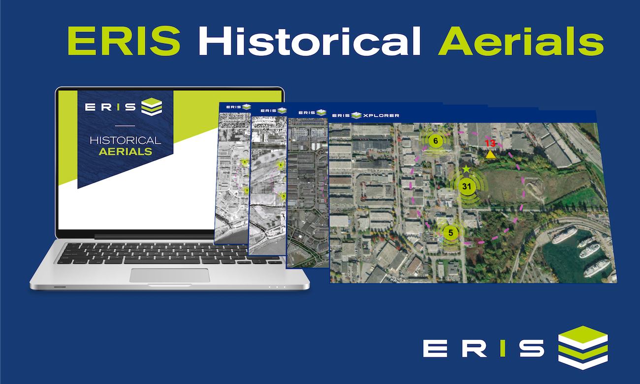
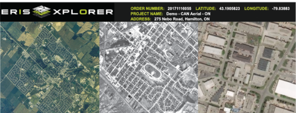
ERIS has the largest centralized collection in Canada from the National Air Photo Library (NAPL) and other sources. With ERIS Xplorer map layering tool, seamlessly access geo-referenced aerials spanning back to the 1920s. Transition effortlessly between different years for a comprehensive view of any area.
A new, more efficient process to secure Historical Aerial Photographs
ERIS has introduced a new, streamlined process to select and obtain aerial photographs. The new process saves multiple steps and possible delays.
EASY AS 1, 2, 3!
1. You select the decades for which you want to receive aerials (from ERIS' vast collection for decades 1920 to 2010).
2. The ERIS Team will select the BEST aerial photograph for that decade based on COVERAGE, QUALITY and SCALE.
3. You receive the final delivery in a geo-enabled .pdf with metadata for each aerial, and within Xplorer.
If you haven't experienced Xplorer, and its ability to 'transition' the view of your site location through the decades, then please arrange a demo with us.
We would love to show you this powerful layering and analysis tool.
Email us or complete the adjacent form to schedule a demo.
Contact us for more information or to schedule a demo
ERIS XPLORER Brief Tour
Take a brief tour of this exciting new interactive tool for overlaying data and historical images.