Specifically for environmental due diligence, aerial images play an important role in the historical review component of a Phase I Environmental Site Assessment. Along with other historical resources, aerial imagery aids environmental professionals in identifying a property’s past and current uses, as well as, past, current, or potential contamination risks.
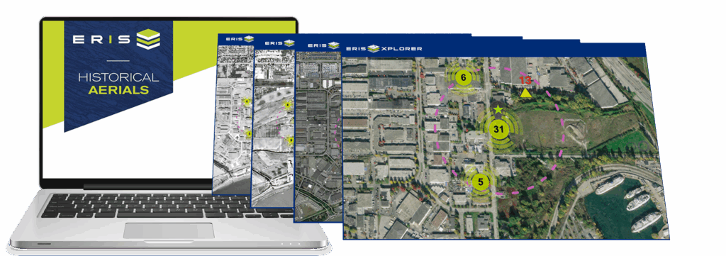
ERIS has an impressive collection of high-quality historical aerials from multiple sources nationwide. Each site is carefully reviewed by our dedicated aerials team to ensure the best coverage is provided based on our vast in-house collection. With the ERIS Xplorer map layering tool, seamlessly access geo-referenced aerials.
ERIS Xplorer
If you haven’t used ERIS Xplorer yet, click below to find out more.
Highlights of ERIS Historical Aerial Photos
Every aerial order includes a link to ERIS XPLORER for layering and analysis. Separate PDF files will also be available within Xplorer. If you haven’t experienced Xplorer, and its ability to ‘transition’ the view of your site location through the decades, then please arrange a demo with us.
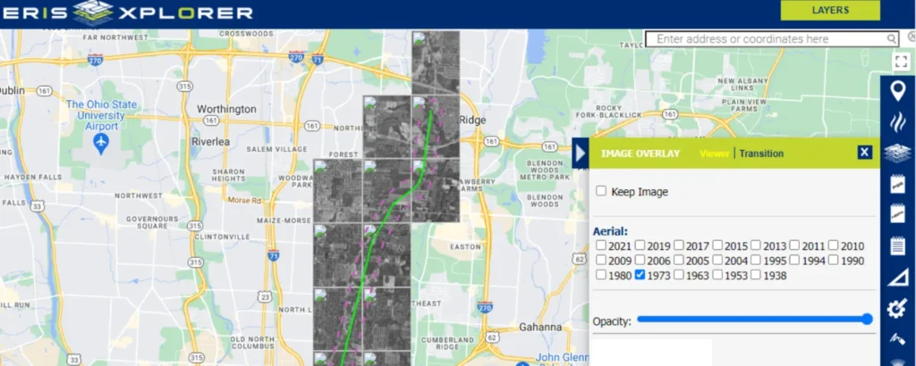
ERIS Xplorer Brief Tour
Take a brief tour of this exciting new interactive tool for overlaying data and historical images.
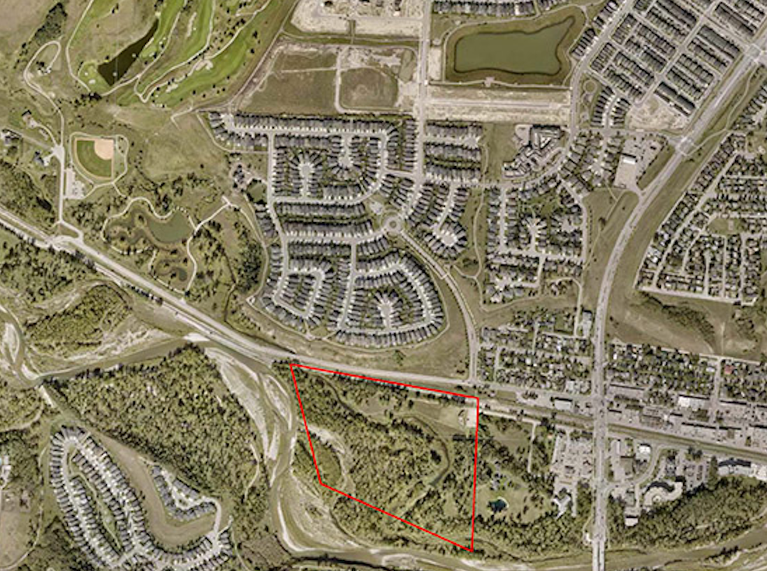
NEW – Upgraded Aerial Imaging for Large Custom Areas and Linear Projects
A recent enhancement for ERIS aerials is the ability to view and analyze multiple high resolution images seamlessly within ERIS Xplorer. Now you can:
Explore this impactful new technology on your next large-scale project. Discover the continually expanding and unmatched quality of our enhanced ERIS Aerials.
Request More Information
Complete the following form and an ERIS Representative will contact you shortly.