USA
Database Reports
Database Report $95
Includes Physical Setting Report (PSR) $145
ERIS database reports provide a records review of government, state, and municipality data / information for any property in the United States in a concise and comprehensive manner. Key federal, state and proprietary databases are researched to identify environmental concerns associated with your subject property and surrounding area.
- Multiple Radius Database Report meeting ASTM and AAI standards
- ‘Express Preview Report’ is available within minutes of ordering
- Precise property locations
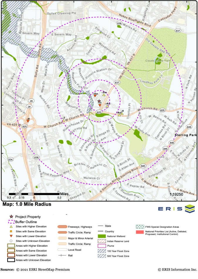
- Overview and detailed street maps with point data
- Interactive display of precise information through links between summary and detailed information
- Bookmarking between pages
- Scrubbed and cleaned data, with low unmapped sites
ASTM/AAI-Standard Reports
All reports include customized and interactive maps of various scales, showing target properties and surrounding areas, as well as detailed records found within defined radii. All records are linked to the final detailed report. Key databases include: