
A GIANT LEAP FOR
HISTORICAL PRODUCTS
City Directories are now in Xplorer
Historical property research just took a major step forward.
City Directory historical data is now accessible through an interactive, searchable map interface within Xplorer, giving environmental consultants a dramatically more efficient way to investigate property history, validate findings, and strengthen reporting.
What you can do with the NEW City Directory Layer
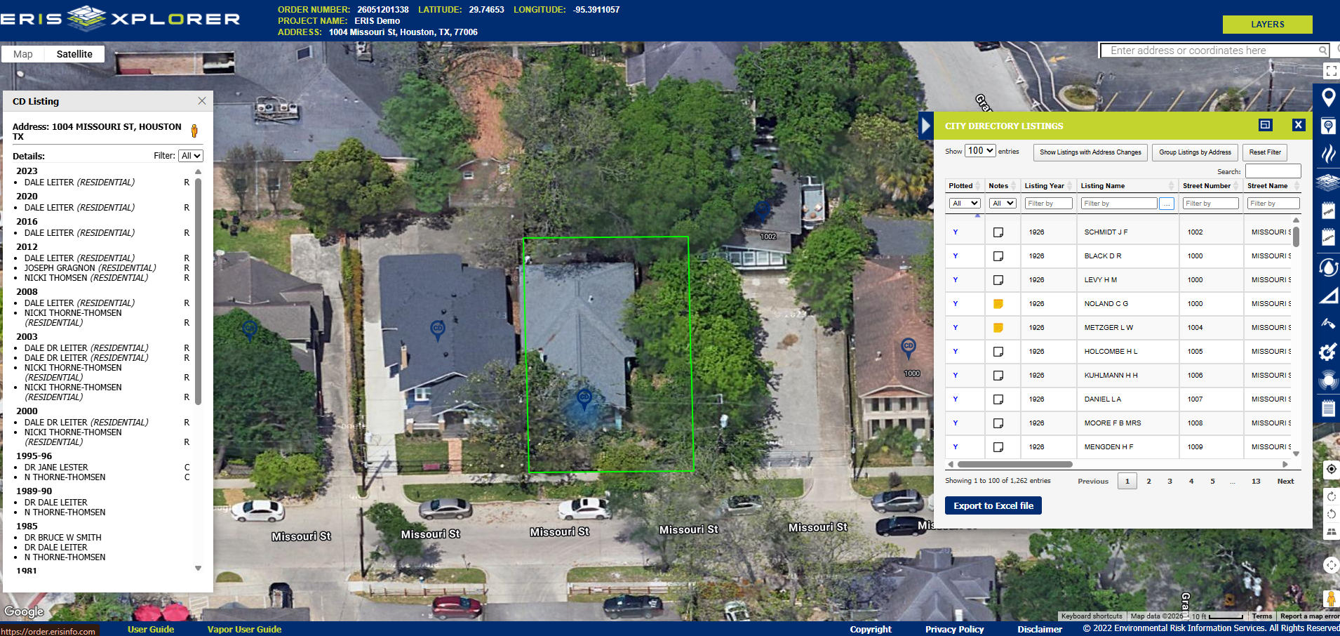
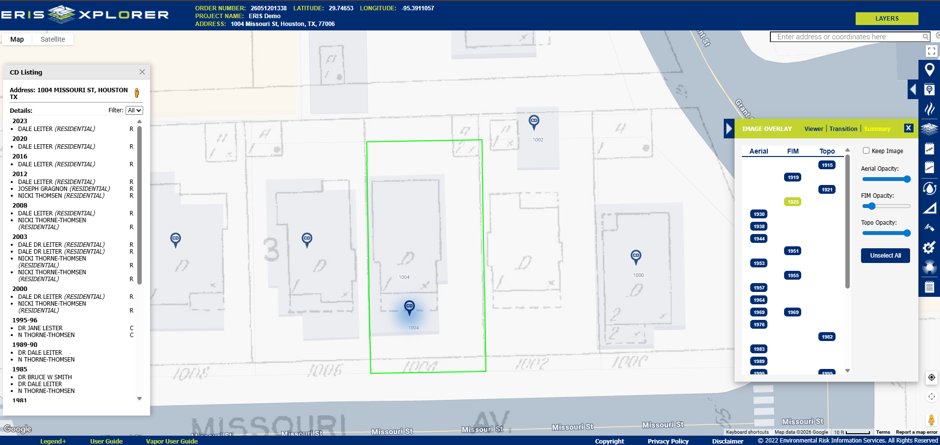
See it in Action
This is more than a new layer in Xplorer, it’s a major advancement in how historical property research gets done. And this is just the beginning. Stay tuned for more innovative capabilities for Xplorer this year.
Connect with us to see how City Directories in Xplorer can help your team take a huge step forward in the efficiency of your workflow.
Built for Faster Workflows.
Designed for Better Insights.
City Directories in Xplorer delivers:
ERIS Xplorer
Our innovative platform integrates Database Reports, Topographic Maps, Aerial Photos, Fire Insurance Maps, layers from the Physical Setting Report and now City Directories.

Request a Live Demo of
City Directories in Xplorer
Please fill in the following form and an ERIS Representative will contact you shortly.