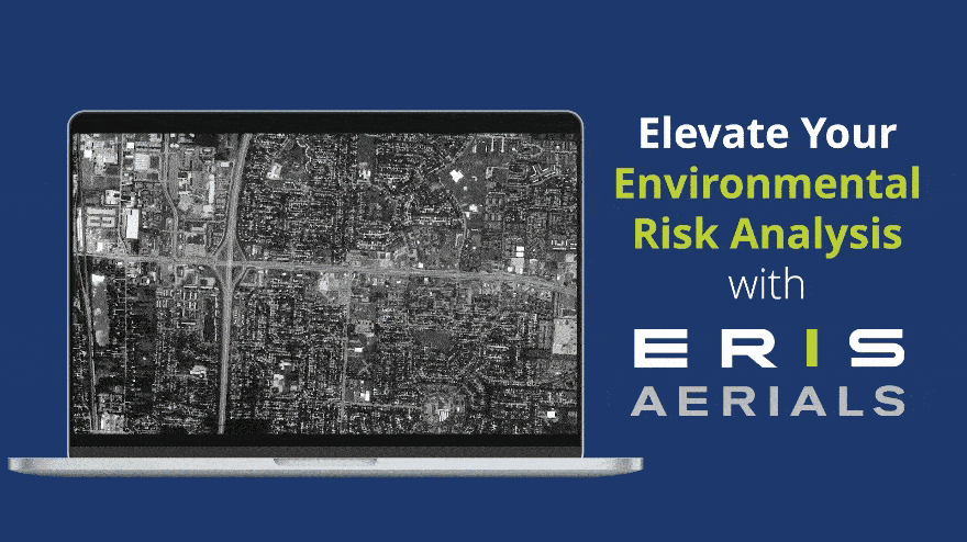
ERIS is excited to introduce enhancements to our aerial imaging for large-scale projects.
Developed for large custom areas and linear projects, this upgrade allows multiple high-resolution images to be viewed seamlessly in the ERIS Xplorer application.
•Integrate high-res aerial images into Xplorer to enable more depth and precision when reviewing projects.
•Overlay images effortlessly and use the Opacity and Transition tools to assess environmental changes and risks with accuracy regardless of site size.
•Generate robust PDF reports containing both summaries and detailed imagery for large-scale projects.
•Benefit from ERIS’ end-to-end solution integration whether in the office or on-site across ERIS Mobile, Xplorer, the Figure Creator Tool, and SCRIVA, our report authoring platform.
Explore this impactful new technology on your next large scale project. Discover the continually expanding and unmatched quality of our enhanced ERIS Aerials.
For more information, please contact your Regional Account Manager, or request more information here.